Directions to St. Bonaventure
For GPS the Physical Address is: 801 State Road, Plymouth, MA VIEW A GOOGLE MAP
From the North
From the West
From the East
For GPS the Physical Address is: 801 State Road, Plymouth, MA VIEW A GOOGLE MAP
From the North
- Take Rte. 3 South to Exit 12: Plimoth Plantation Highway, this is THE ONLY LEFT-HAND EXIT OFF RTE. 3 SOUTH.
- Continue straight on Plantation Road (the name of the road changes to Rte. 3A South). The road twists and turns through the “Pine Hills.” Continue straight on this road for approximately 5 miles. Straight through lights at Beaver Dam/White Horse Beach Road.
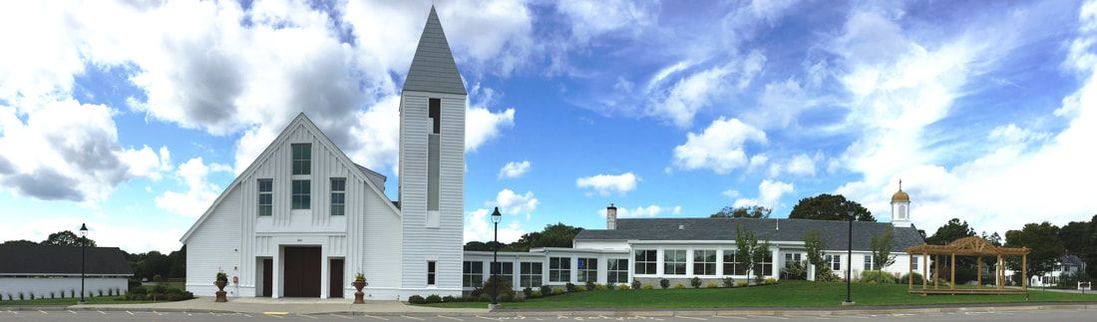
- After reaching Manomet Center - go straight through the stoplight, continue straight for about 1/10 of a mile. St. Bonaventure Church is on your right.
--The Parish Center is located in the parking lot behind the church.
- From the Sagamore Bridge (Rte. 6), Stay on Rte. 3 North to exit 7 (Hedges Pond Road-Manomet-Cedarville). At the bottom of the ramp turn left on Hedges Pond Rd.
- Hedges Pond turns into Rte. 3A. Take a left onto 3A north. Sunoco gas station will be on your right.
- Continue North on Rte. 3A for approximately 7 miles.
- Just after the fire station you will see the new church on the left.
From the West
- Exit Mass Pike onto Rte. 495 South.
- Follow Rte. 495 South/Rte. 25 to the Buzzards Bay Exit (the exit just before the Bourne Bridge).
- Go around rotary, passing under the Bourne Bridge, and head East on the canal bypass road (Rte 6).
- When you reach Rte. 3 (Sagamore Bridge on your right), take Rte. 3 North, left turn (third set of traffic lights). Then follow directions above entitled, “From the South.”
From the East
- Exit Rte. 128/95 onto Rte. 3 South
- Exit Rte. 24/495 Rte. 44 East to Rte. 3 South.
- Then follow directions above entitled, “From the North.”